
Tropical Heat Not Tropical Storms Highlight Acadiana Forecast
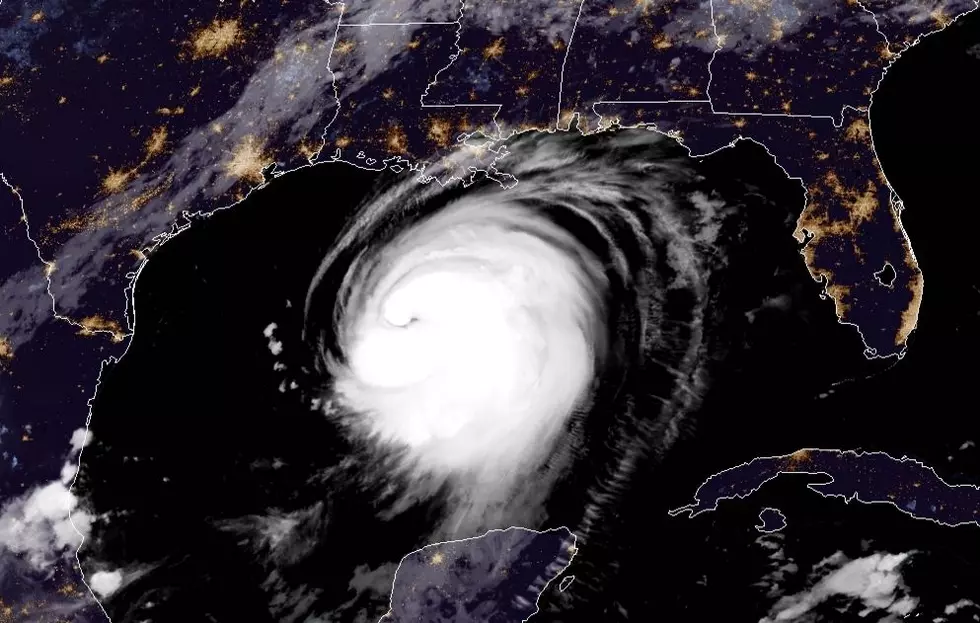
The National Hurricane Center is currently tracking "potential tropical cyclone #9" in the waters of the Atlantic Ocean just east of Florida. Tropical model forecasts had suggested that this system could strengthen and enter the Gulf of Mexico over the weekend.
The good news for the Gulf Coast states is that the system is now forecast to maybe interact with the Florida peninsula over the weekend but it should not track into the Gulf. So, while we may have dodged another tropical bullet, we're still going to experience tropical heat over the weekend with even hotter temperatures forecast for next week.
The National Weather Service office out of Lake Charles says next week's weather will be more typical Summer weather than almost fall weather. Some forecast models have temperatures reaching in the low to the middle 90-degree range every day for the next ten days. Some of those models have actual temperatures approaching the 100-degree mark by late next week.
Rain chances over the forecast period will be minimal. Precipitation will mainly come in the form of a widely scattered hit or miss thunderstorm during the afternoon hours. Rain chances are currently forecast to be 20% to 30% each afternoon.
More From 103.3 The GOAT